![]()
LATEST STORIES:
![]()
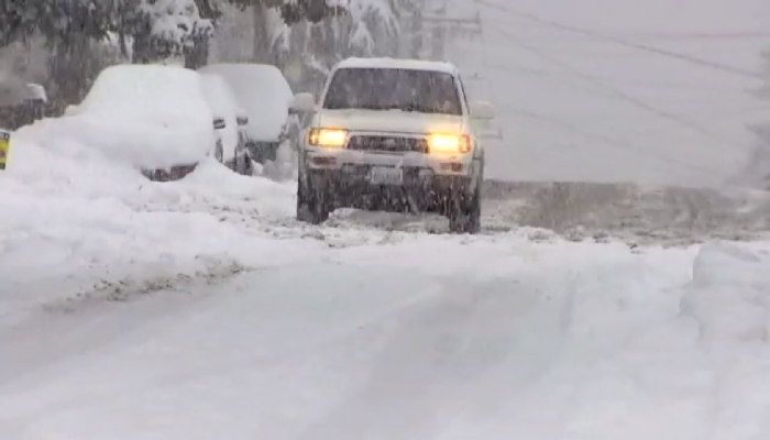
Environment Canada says Toronto could see over 50 cm of snow overnight into Monday morning, likely to make the early commute challenging.
Mississauga and parts of southern Toronto are expected to be hit the hardest, with peak snowfall rates reaching 5 to 10 cm per hour.
The heavy snowfall paired with wind gusts of up to 50 km/h could significantly reduce visibility.
Lake effect snow is expected to shift southward into Oakville and Burlington this evening, and then into Hamilton later this evening.
Commuters throughout the Burlington, Oakville and Hamilton areas are being advised to drive with caution and give themselves more time before hitting the roads.
Airports throughout our region are also experiencing delays and cancellations due to the storm. Be sure to check your flight status before travelling.
Here’s a look at snow clearing operations on the apron at Terminal 1.
Our teams use front-end loaders to load large volumes of snow into inground and portable snow melters. This process enables us to keep critical apron surfaces cleared of snow to support airport operations. pic.twitter.com/gTX0WM4aZX
— Toronto Pearson (@TorontoPearson) January 25, 2026
In a post on X shortly before 6 p.m., the OPP shared a video of highway driving conditions in the GTA.
Road conditions are not ideal. Plows are clearing the lanes but the snow continues to fall. Visibility is not great and will deteriorate as darkness approaches. If you can stay home and wait for the system to pass it’ll be better for all. #OnStorm. ^ks pic.twitter.com/mUvGkoAxj3
— OPP Highway Safety Division (@OPP_HSD) January 25, 2026
Shortly after that post, OPP Sgt. Kerry Schmidt released another clip advising drivers to stay home if possible due to even lower visibility on the roads at night.
Not a good day to be out on the roads.
Darkness makes it difficult to differentiate between the lanes of the road and the shoulders. Plows continue to work but it will take time and the #OnStorm continues.
Stay safe #EyesUp. ^ks pic.twitter.com/9yCzwJHIMV— OPP Highway Safety Division (@OPP_HSD) January 25, 2026
READ MORE: ‘Orange’ winter storm warning issued for Southern Ontario: Environment Canada