![]()
LATEST STORIES:
![]()
Tornado researchers were on the ground in two Ontario communities Wednesday after severe thunderstorms battered the province on consecutive days.
A line of thunderstorms unleashed severe winds as it moved across southern Ontario on Tuesday, with reports of a possible tornado around the London area. Meteorologists said they fielded reports of a blown-out car window and a semi-truck flipped over on its side.
Researchers with Northern Tornadoes Project at Western University were on the ground surveying the damage. Director Dave Sills said the team had reviewed video of what “definitely looks like it could be a tornado” southeast of London.
“Thankfully it’s mostly light damage and mostly tree damage. Haven’t seen much in the way of damage to homes or anything like that. But lots of people affected,” Sills said of Tuesday’s storm.
The team had also travelled to Huntsville, the focus of a Monday night thunderstorm. A 19-year-old died after he was struck by a falling tree in that area, police said.
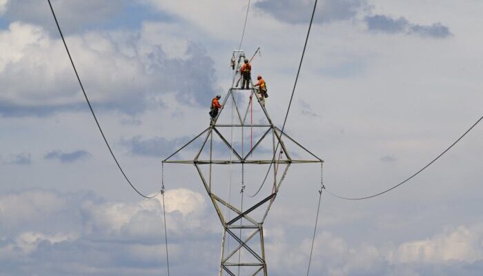
Utility crews appeared to make progress on power outages Wednesday in hard-hit communities.
Hydro One reported power outages for about 1,000 customers in southwestern Ontario by Wednesday afternoon, down from 2,700 earlier in the day. Outages in central Ontario had improved too, with about 700 customers without power, down from 3,000.
Heat warnings gave way to severe thunderstorm and tornado warnings Tuesday as a cold front pushed out the hot, humid air that had been lingering over southern Ontario. Alerts lit up phones and cut into radio broadcasts around London and into the Hamilton area as what meteorologists call a bow-echo storm shot across southern Ontario.
During those storms, a straight line of thunderstorms begins to look like an archer’s bow on the weather radar as very strong winds push the line ahead faster than the rest of the system. Tornadoes will sometimes form along that leading edge.
Southeast of London there were reports of windows blown out of cars and a semi-truck flipped over on its side, said warning preparedness meteorologist Monica Vaswani with Environment Canada.
“It is that time of year. We’re looking forward to the warm temperatures, but with the warm weather does come the threat of thunderstorms and then of course severe weather like this,” she said.
“So just a reminder that we are moving into the later part of spring thunderstorm activity (that) is likely to start occurring more frequently.”
The first tornado of 2026 in Canada was earlier this month north of London, the Northern Tornadoes Project reported. It was assigned the lowest rating on a tornado intensity scale.
This report by The Canadian Press was first published May 20, 2026.
Jordan Omstead, The Canadian Press