![]()
LATEST STORIES:
![]()
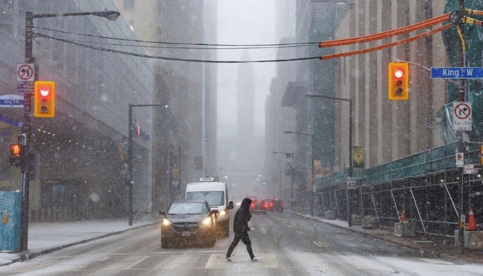
The brunt of a multi-day winter storm was set to hit central Ontario’s snowbelt on Thursday with squalls expected to extend power outages and disrupt travel across large parts of the province.
Up to 50 centimetres of snow was possible for areas off Georgian Bay, including Barrie, and even more for the region south of Owen Sound, Environment Canada said.
The heaviest snowfall was expected to start Thursday night with the storm lingering into Saturday.
“Travel will be extremely hazardous,” the weather office warned on Thursday.
Toronto was expected to be mostly spared, but the forecast said Hamilton and the outskirts of the Greater Toronto Area, from Milton wrapping around to Oshawa, could see between five and 15 centimetres and strong winds.
The London area could see totals exceeding 15 centimetres, Environment Canada said.
Thousands of customers were without power on Thursday as Hydro One reported local road conditions in some areas had delayed its crews.
Further east off Lake Ontario, wind gusts were expected to top out around 70 or 80 kilometres an hour, and possibly higher in Prince Edward County.
The forecast suggested winds were expected to let up in those areas later Thursday.
Major snowfall had already buried parts of northern Ontario, blanketing roads and shutting down a stretch of Highway 655 south of Cochrane.
Another 10 to 20 centimetres was possible on Thursday to bring totals up to an expected 60 centimetres in parts of northeastern Ontario.
A winter storm warning remained in place from Wawa to Timmins, and as far north as Moosonee.
It was expected to ease up Thursday night near Lake Superior, but continue into Friday morning for areas closer to the Quebec border.
This report by The Canadian Press was first published Nov. 26, 2025.